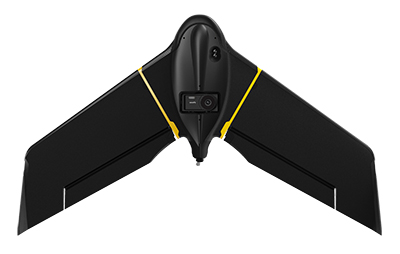
The eBee X. (Photo: senseFly)
SenseFly, a drone solutions provider, will be demonstrating its drone solutions at Intergeo 2019, which will take place Sept. 17-19 in Stuttgart, Germany.
According to the company, visitors to its booth will be able to explore the flexibility of senseFly’s eBee X drone and its role in optimizing GIS and surveying workflows to achieve high quality outputs, such as centimeter-precise 3D point clouds, orthomosaics and digital surface models.
Attendees will be able to learn about the range of payloads and software solutions the eBee X platform can be used with, including the senseFly Aeria X, senseFly Duet T, senseFly S.O.D.A., senseFly S.O.D.A. 3D, MicaSense RedEdge-MX and Parrot Sequoia.
The senseFly team will also be hosting a series of Meet the Experts sessions on-stand featuring guest speakers and demos from senseFly partners such as Pix4D, ALLNAV and Harxon. The 10-minute talks will be followed by Q&A sessions.
“Our expert team also enables us to deliver the knowledge and insight our users need to navigate the changing landscape as drone technology continues to garner greater public and legislative attention worldwide,” said Gilles Labossière, CEO of senseFly. “Our customers’ needs are constantly evolving, and it’s vital for us to ensure that our products and solutions are as dynamic and versatile as they are to meet their unique and complex challenges.”
SenseFly’s can be found at booth B3.078, Hall 3, at Intergeo 2019.