“Seen & Heard” is a monthly feature of GPS World magazine, traveling the world to capture interesting and unusual news stories involving the GNSS/PNT industry.
Network Tool Helps Find Children
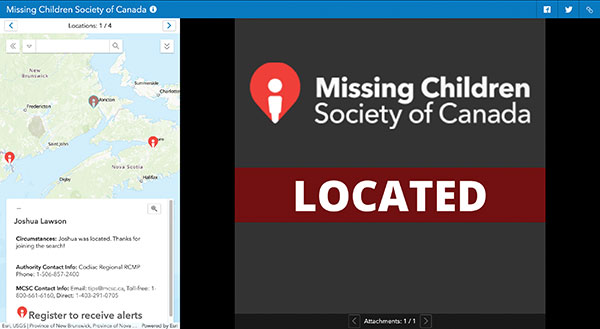
Microsoft and Esri Canada have developed the Child Search Network to enhance Canada’s national strategy for missing children. The network provides police services with a quick way to share information and collaborate with others, as well as with the general public, to find missing children faster and reunite them with their families. Police can put out information on a missing child via a website and smart-phone app. Members of the public can then offer tips by downloading the MCSC rescue app to register to receive alerts and share any information they may have regarding a missing child or youth. The tool helps meet the “gap of response” for high-risk cases of missing children that do not meet the strict criteria for the AMBER Alert.
S’more Delivery Options
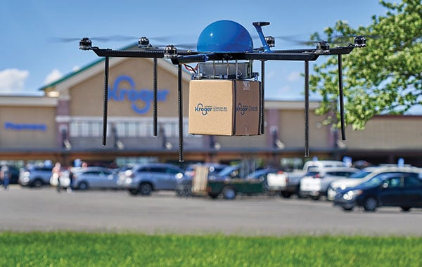
Grocery chain Kroger and Drone Express have launched a pilot delivery program in Centerville, Ohio, filling orders in as quickly as 15 minutes. Orders are sent to the customer’s smartphone location, which could include sending picnic supplies to a park or sunscreen to a beach. As part of the project, Kroger is selling bundled products within the payload weight — about five pounds, such as a S’mores bundle with graham crackers, marshmallows and chocolate.
Multiple UAVs Shorten Penguin Survey
One of the largest Adélie penguin colonies in the world was surveyed with multiple UAVs in March. Survey time was reduced from three days (with a single drone manually piloted) to under three hours. The work was led by a team of experts from Stanford University, Point Blue Conservation Science and Conservation Metrics. UgCS software by SPH Engineering was used to develop a system to autonomously survey the penguins. Thousands of high-resolution images were taken on each survey. An artificial intelligence model by Conservation Metrics is under development that will automatically identify and count adult penguins and their chicks. Using UgCS with a Stanford-provided planning algorithm, the survey team efficiently photographed more than 300,000 breeding pairs at Cape Crozier, Antarctica. The surveys will contribute to large-scale assessments of penguin populations and breeding success, key metrics for monitoring the health of the Antarctic marine ecosystem.
Seeing Sinkholes with Satellites
Synspective Inc. is offering a sinkhole-detection prediction tool using satellite imagery analysis. Part of the company’s Land Displacement Monitoring service, an algorithm uses data science and machine learning to detect spatial and temporal variations. It can identify areas where sinkholes are likely to occur, areas where cave-ins have occurred, and areas where cave-ins are in progress. The input data is automatically updated, and the platform handles the processing and analysis of the complex satellite imagery.


