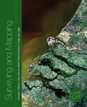
A new surveying and mapping textbook is now available on the OPEN Textbook network.
 Written in English, the book provides an academic introduction to the field of surveying and mapping. It is based on handouts and readers written for the third-year course “Surveying and Mapping” in the civil engineering bachelor’s program at Delft University of Technology in The Netherlands.
The textbook covers a wide range of measurement techniques, from land surveying using GPS/GNSS and remote sensing to the associated data processing, the underlying coordinate reference systems, and the analysis and visualization of the acquired geospatial information.
Although a few parts of the book are specific to The Netherlands, for the most part the material is applicable globally.
Surveying and Mapping
Authors: Christian Tiberius, Hans van der Marel, René Reudink and Freek van Leijen / Delft University of Technology / The Netherlands
ISBN (softback/paperback): 9789463664905
ISBN (ebook): 9789463664899
DOI: https://doi.org/10.5074/T.2021.007
The book is freely available as an OPEN Textbook by the TU Delft library.