Under a new agreement, Lidar USA — a developer of geomatics solutions — will include Hesai Technology Co. Ltd., 3D lidar sensors in its product lineup. Hesai Technology announced the agreement at the Commercial UAV Expo 2021 in Las Vegas, Sept. 7-9.
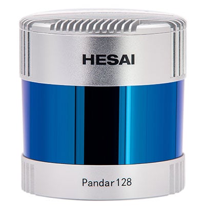
The Pandar128 lidar unit. (Photo: Hesai)
Under the terms of the agreement, Lidar USA will leverage its marketing and sales expertise to distribute Hesai sensors across the United States, Canada and Mexico.
“Hesai’s product portfolio has the sensors we have all long awaited — bridging the gap between sensors made for automotive navigation and those made for precision measurement,” said Lidar USA CEO Jeff Fagerman. “Users will enjoy the affordability of the former and results of the latter.”
Hesai’s lidar units offer superior performance and reliability to ensure robust detection under different operating and environmental conditions, the company stated in a press release. Hesai’s XT sensors, embedded with proprietary lidar application-specific integrated circuits (ASICs), deliver performance advantages while maintaining a compact form factor and low cost.
The XT sensors are lightweight and draw less power, enabling longer operation for airborne applications. The XT’s precision and accuracy allows for fine detail capture.
PandarQT, a short-range sensor for blindspot detection, has a large vertical field-of-view of 104.2°. The Pandar series lidars — Pandar128, Pandar64 and Pandar40P — deliver long detection range, high resolution and high point density for optimized perception results.
“Lidars are increasingly being adopted for different end markets and applications,” said David Li, Hesai’s CEO. “We’re excited to partner with an industry leader like Lidar USA, whose strong foothold in North America will help expand access to sensors across different segments.”