J. David Grossman
Can GPS support a greener, more sustainable planet? The answer is an emphatic “yes,” and it is already doing so today.
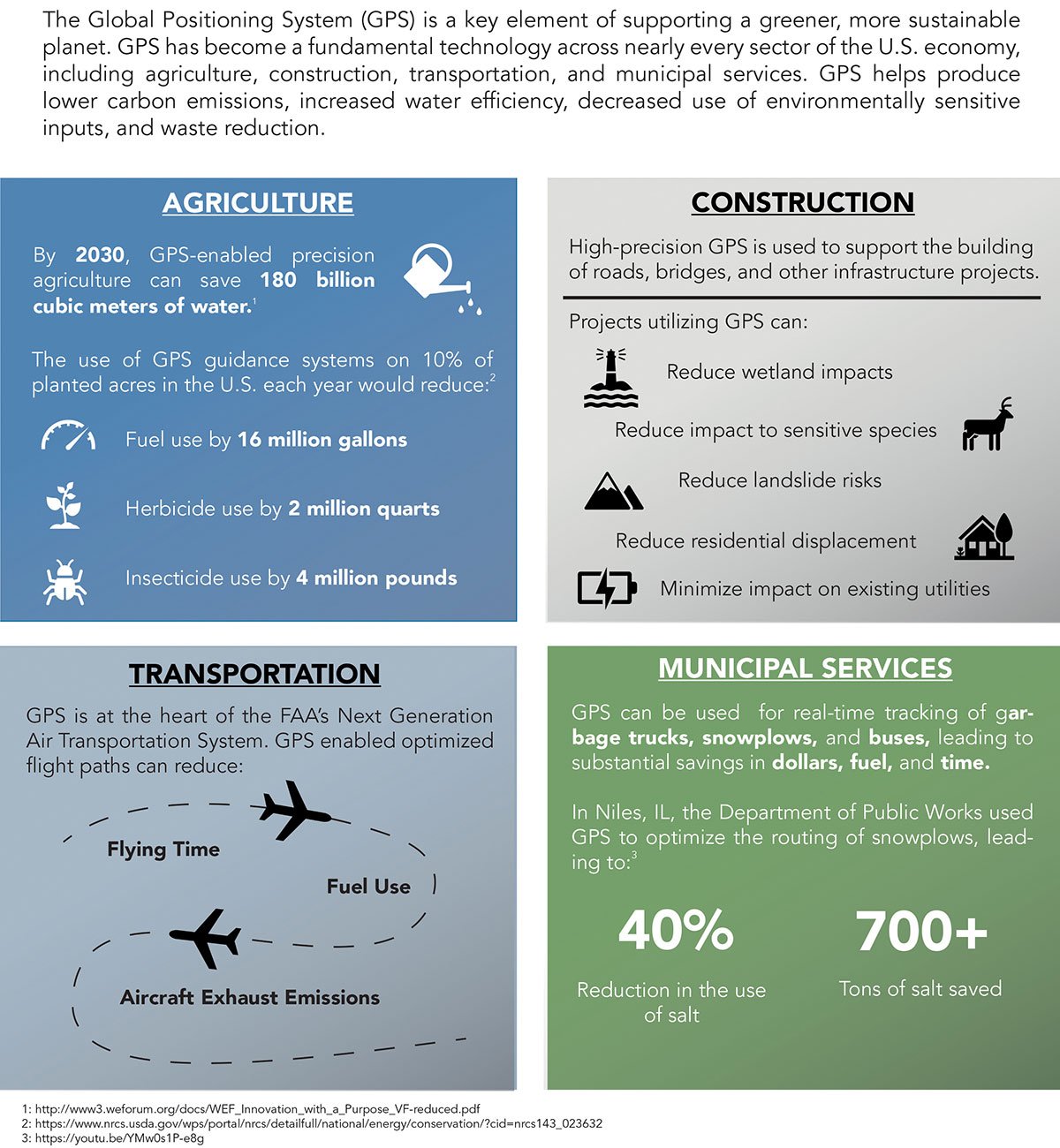
GPS has become a fundamental technology across nearly every sector of the U.S. economy, including agriculture, transportation, construction and municipal services. In each of these industries, the use of GPS has produced substantial environmental benefits, such as lowered carbon emissions, increased water efficiency, decreased use of environmentally sensitive inputs, and reduced waste.
Agriculture
Let’s take a closer look at how GPS is protecting our nation’s critical environmental resources. We begin with agriculture where it is estimated that the absence of GPS during peak planting season could result in an economic loss of more than $15 billion, according to a National Institute of Standards and Technology report.
During the past two decades, GPS has transformed American farming, enabling increased crop yields, cost efficiencies, and environmental sustainability through the precise application of seed, water, fertilizers and pesticides and the efficient use of fuel. In sum, precision agriculture lets farmers do more with less wasted seed, less fertilizer, less fuel, less pesticide, and more crop yield.
GPS Innovation Alliance (GPSIA) founding member Deere & Company reports that precision agriculture technologies can have a huge impact on resource efficiency and sustainability. By 2030, GPS-enabled precision agriculture implemented globally could save 180 billion cubic meters of water, says the World Economic Forum.
Similarly, according to the U.S. Department of Agriculture’s Natural Resources Conservation Service (NRCS), if “[GPS] guidance systems were used on 10 percent of the planted acres in the United States, fuel use would be cut by 16 million gallons, herbicide use by two million quarts, and insecticide use by four million pounds per year.” For a single Midwest row crop farmer, with 6,500 acres using precision agriculture techniques, Deere & Company estimates that more than 1,600 gallons of fuel could be saved, and more than 400,000 kg CO2 equivalent emissions could be avoided, over the course of a production cycle — the equivalent of nearly a million (992,000) passenger car miles driven per year.
Infographic: GPS Innovation Alliance
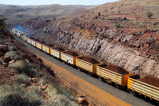
Construction
Construction is another industry that has been revolutionized by GPS. Today, high-precision GPS is used to support the building of roads, bridges and other significant infrastructure projects. In 2019, testimony before the U.S. House Small Business Committee, an executive of GPSIA founding member Trimble described several examples of how digital construction technologies, including GPS, can more efficiently plan and execute complex construction projects.
In one such example from Southern California, the improvements “reduced the wetland impact by 58 acres; reduced the impact to sensitive species; reduced landslide risk; reduced residential displacement; and minimized the impact on existing utilities (resulting in few utility relocations to undisturbed areas).”
GPS receivers are also embedded in many bulldozers, excavators and graders, resulting in reduced waste and lower fuel consumption. They can reduce greenhouse gas emissions, with an estimate from Trimble suggesting that the use of machine control technologies can cut more than one billion pounds of CO2 usage per year.
NextGen Air
GPS is also at the heart of the Next Generation Air Transportation System, or NextGen, of the Federal Aviation Administration (FAA). Capt. Sully Sullenberger, during a 2020 GPSIA-sponsored event, described air traffic control modernization as depending “massively on the ubiquity and reliability of GPS.”
Along with the safety benefits of knowing the precise location of an aircraft, GPS enables optimized flight paths that the FAA says can reduce “flying time, fuel use, and aircraft exhaust emissions.” These efficiencies have already resulted in $1.2 billion in fuel savings, according to the FAA.
During a 2010 test flight over Puget Sound, Washington, Alaska Airlines found that the use of GPS-aided flight procedures reduced emissions by 35% compared to a conventional landing. Other airlines have also quantified these benefits, finding substantial savings in fuel consumption simply by cutting a single minute from each flight.
Weather and Disaster Forecasts
No one can argue the fact that weather events like hurricanes, floods and droughts have a huge impact on the environment and public safety. According to the National Oceanographic and Atmospheric Administration (NOAA), in 2020 such events cost $95 billion in damages. You may not realize, however, that NOAA uses GPS signals to support three-dimensional meteorology, space weather and geophysical applications throughout the United States.
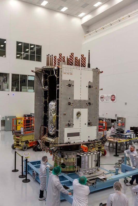
Even NOAA’s Geostationary Operational Environmental Satellites (GOES) use GPS signals to enhance their ability to provide the data we all receive in each morning’s TV weather forecast, improving weather predictions and our own storm situational awareness. GPSIA member Lockheed Martin manufactures both the GOES-R series of weather satellites and the U.S. Space Force’s more powerful, next-generation GPS III satellites that are now being launched to modernize the GPS constellation.
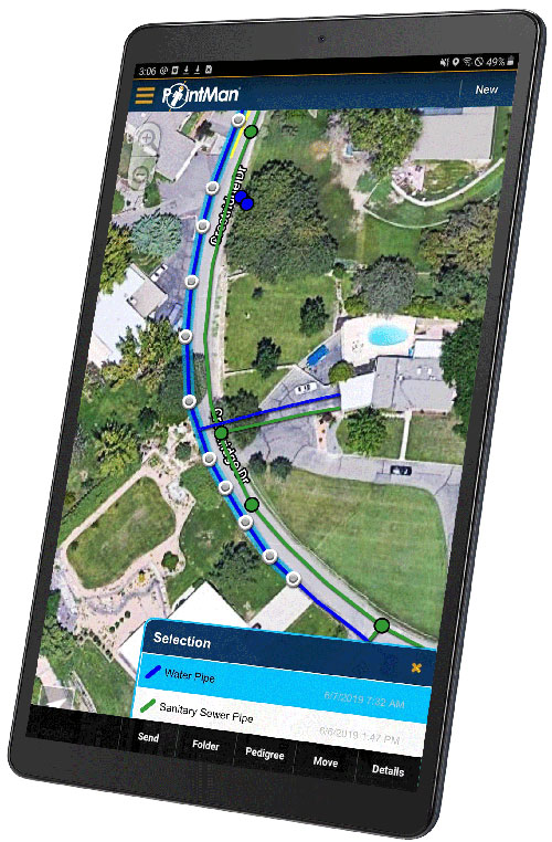
Municipalities
Lastly, we examine the environmental benefits for municipalities that use GPS for key government services, including the real-time tracking of garbage trucks, snowplows and buses. Throughout the country, towns and cities have seen substantial savings in dollars, fuel and time from implementing GPS-enabled technologies.
In Niles, Illinois, for example, the Department of Public Works partnered with GPSIA founding member Garmin to optimize the routing of snowplows. Using GPS technology, drivers reduced the use of salt by as much as 40%, resulting in more than 700 tons saved. In 2020, in recognition of its innovative use of GPS, the department received the Management Innovation Award from the American Public Works Association. Similarly, GPSIA member CalAmp found that GPS use for vehicle tracking can result in fuel savings of $90 per vehicle per month.
Ensuring GPS
Ensuring these environmental benefits can continue to be realized requires that the spectrum used by GPS be protected from harmful interference. It will also depend on continued funding by Congress to modernize the GPS constellation and ground control. Additionally, as Congress considers a major infrastructure bill, including funding for states and localities, we would encourage projects to make use of GPS and other innovative technologies that can drive down costs, reduce carbon emissions, and eliminate waste — including advanced digital-construction management systems that use GPS data to reduce project costs and speed project delivery.
GPS has changed our everyday lives for the better, and as our dependence on this technology continues to grow, so will its impact on environmental sustainability efforts.
J. David Grossman is Executive Director of the GPS Innovation Alliance.
Gilla detta:
Gilla Laddar in …